


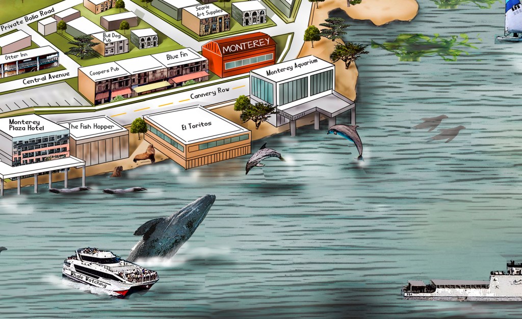
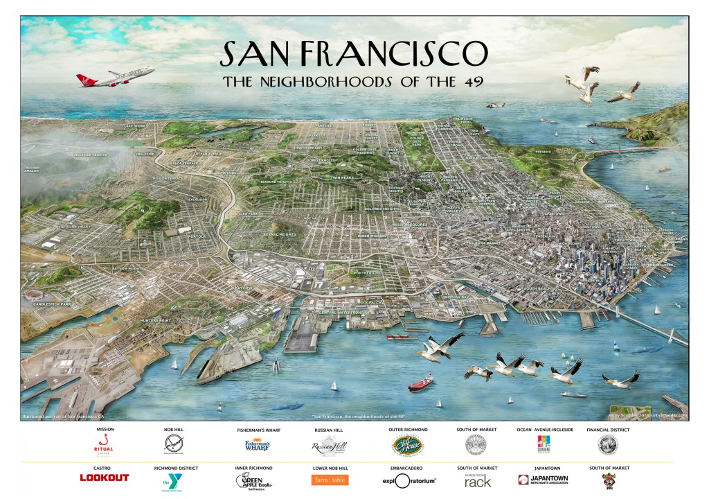
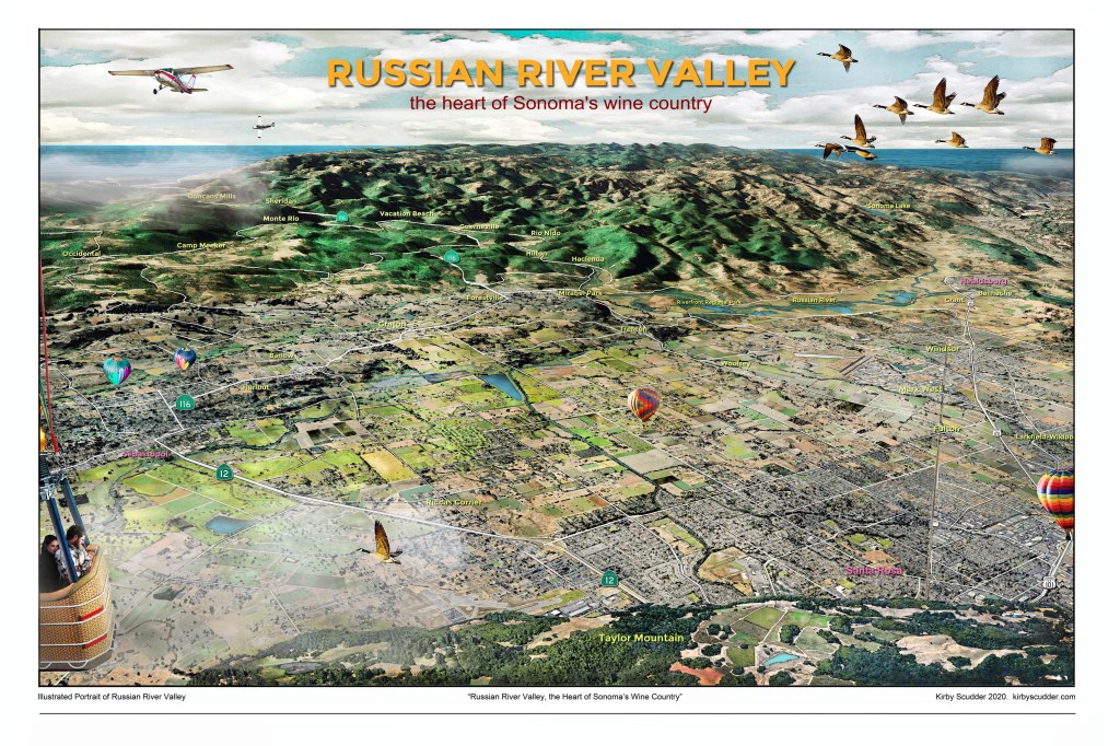
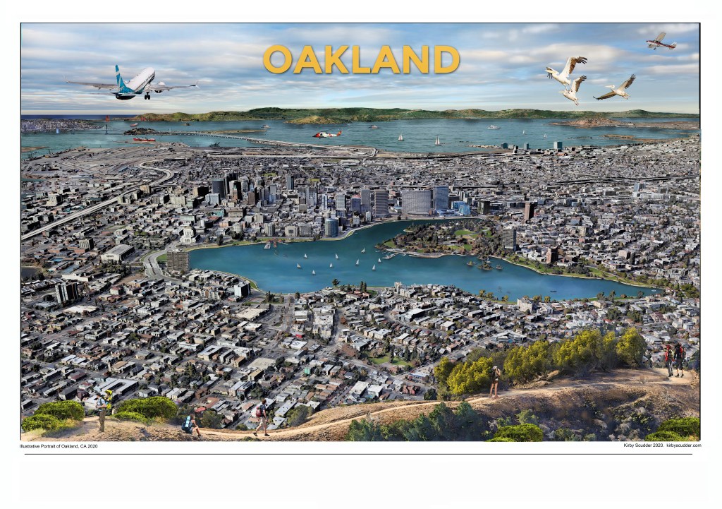
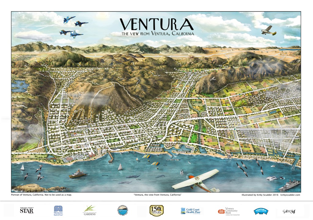
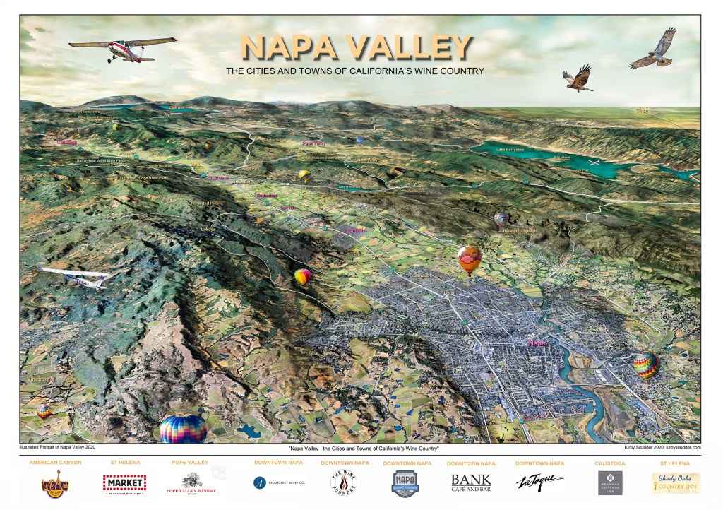
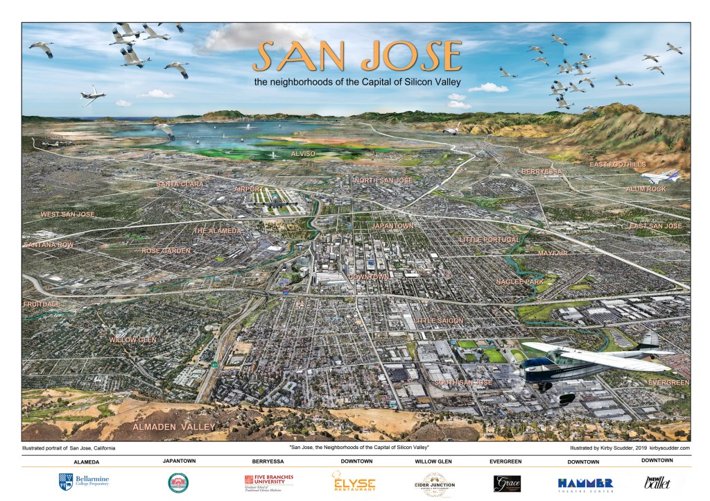
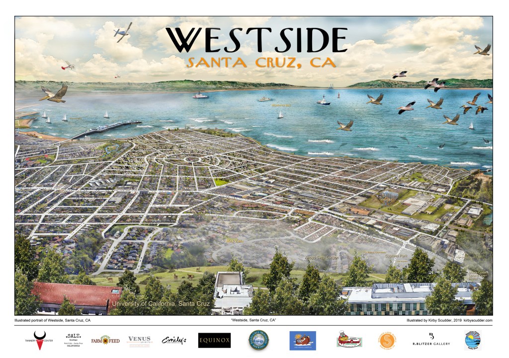
What makes these illustrations unique is the artistic detail and the one point perspective that illustrates a communities relationship to the world. This process highlights the beauty of each communities urban and natural environments. Each print takes months to complete, but the result is a rich portrait of these unique cities and regions of California.

llustrating California – Published in the “Use: Map Reading and Design” cartology book by world renowned (ESRI)
While a bird’s eye view is something today we’re treated to via satellite mapping, the technique of creating oblique map art dates back well into the 1600’s – much earlier than satellites or even photography. Today we realize that the technique of old is an excellent way to communicate scale, design elements, orientation and navigation in a single, artistic image.
Just some of the many California regions I’ve illustrated over the years


“Mr. Scudder’s posters have been collected by buyers from around the globe, a reflection of his keen eye and commitment to the regions that he illustrates. His unique vantage point captures the insider’s view of the communities he portrays. When completed he has captured the spirit of a place for thousands of viewers to enjoy.” Benjamin Taylor, Painter/Educator
